The routes show safe sailing options, and the service makes it easier for seafarers to plan and carry out voyages. They are quality assured by the Norwegian Coastal Administration's pilot service, Pilot Exemption Certificate Unit, Aids to Navigation Service, and by the Norwegian Mapping Authority.
Includes sailing rules and information
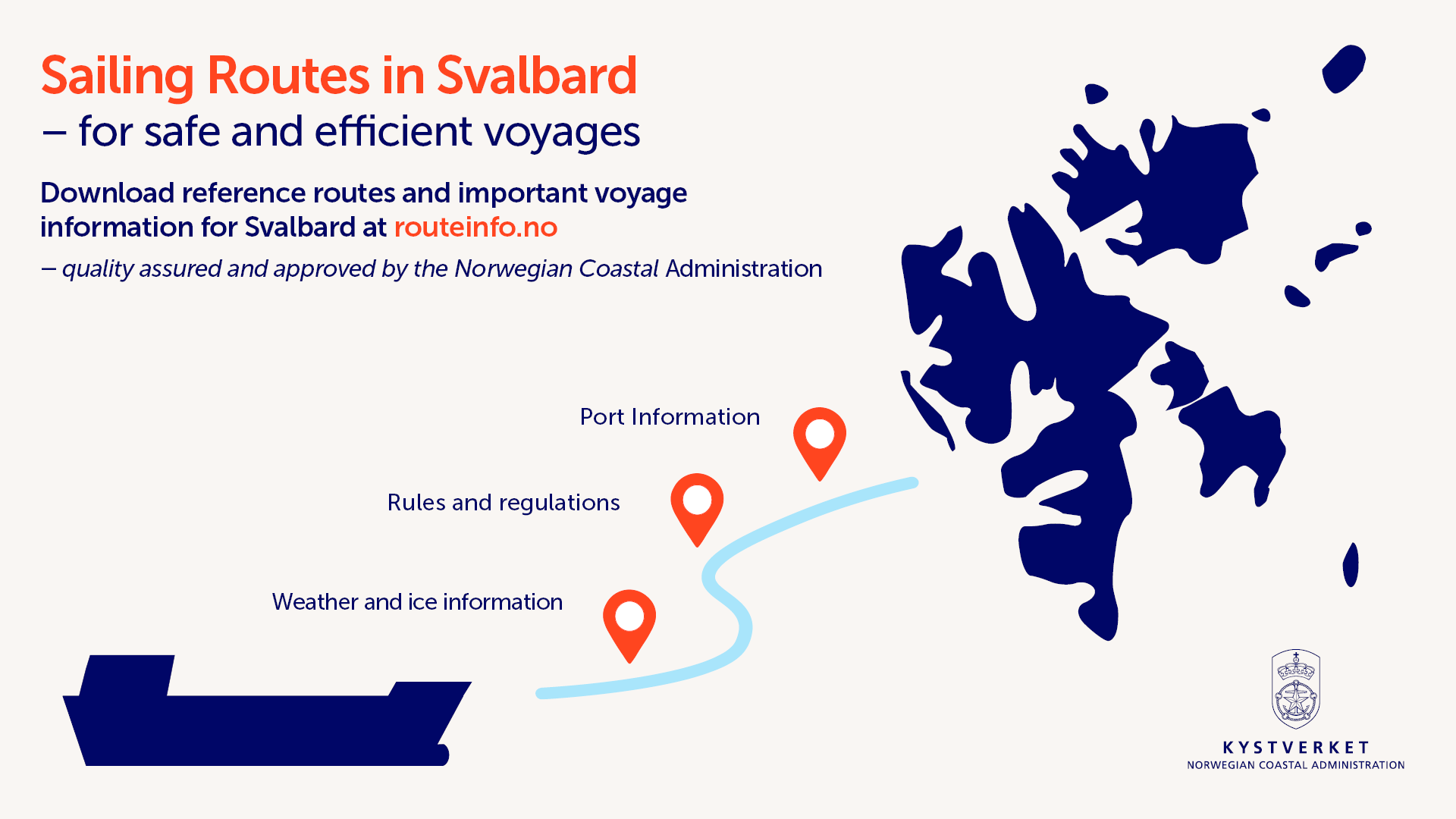
The routes contains important route information for the voyage, including regulations and information services that apply for ship traffic. This route information is particularly important for navigators sailing in Svalbard waters where a lack of infrastructure, unstable weather and ice conditions and additional regulations in environmentally vulnerable areas make navigation even more challenging.
"Through the route service, navigators get easy access to recommended routes and information about key regulations that apply to shipping in Svalbard," says Senior Engineer John Morten Klingsheim in the Norwegian Coastal Administration.
In addition to new routes for Svalbard, the reference routes are also available via the electronic maps of PRIMAR and NavStation.
"This means that 18,000 vessels will have direct access to the routes via on-board chart systems," says Klingsheim.
A risk-reducing measure
Last year's traffic figures from kystdatahuset.no show an increase of 133 more port calls in Svalbard since 2013. Of the total 577 port calls in 2023, passenger vessels, offshore vessels, special vessels, cargo ships and tankers accounted for the most traffic.
In the Norwegian Coastal Administration's (NCA) maritime safety analysis from 2022, inadequate route planning has been identified as a contributing factor to navigation accidents on the Norwegian coast. The reference routes from the NCA are intended to help simplify route planning and reduce the risk of unfortunate route choices. The routes are adapted to larger vessels where the risk to safety and the environment is greatest, among these cruise ships.
"This makes a good and practical contribution to route planning and risk assessment for traffic in the area. In addition, it simplifies access to updated information about sailing rules and other regulations," says Arve Dimmen, Director of Navigation Technology and Maritime Services at the Norwegian Coastal Administration.
A continuous work
The new routes for Svalbard are part of the NCA’s national route service, which currently consists of almost 700 reference routes to all major Norwegian ports. The route service is under continuous development. Better accessibility of risk-reducing navigation services is a priority in this work.
"We have established a close collaboration with the Norwegian Mapping Authority, where we collaborate on the development and improvement of maritime services where our regulatory responsibilities overlap. Together, we have a goal of making it easier for maritime users to find and use important navigation-related information," Klingsheim points out.
Recently, the Norwegian Mapping Authority has measured depth conditions in areas of Svalbard that have not previously been mapped, and against which the routes have been quality assured. The routes take into account the Norwegian Mapping Authority's new surveys. Users of the route service must also be aware that the map quality varies, especially in many areas of Svalbard. Read more about map quality on the Norwegian Mapping Authority's website (in Norwegian only).