Go directly to content

The Differential Global Positioning System (DGPS)

The Differential Global Positioning System (DGPS) service transmits correction signals to GPS navigation equipment on board vessels. The DGPS service improves the accuracy of your GPS position and the quality of the signal.

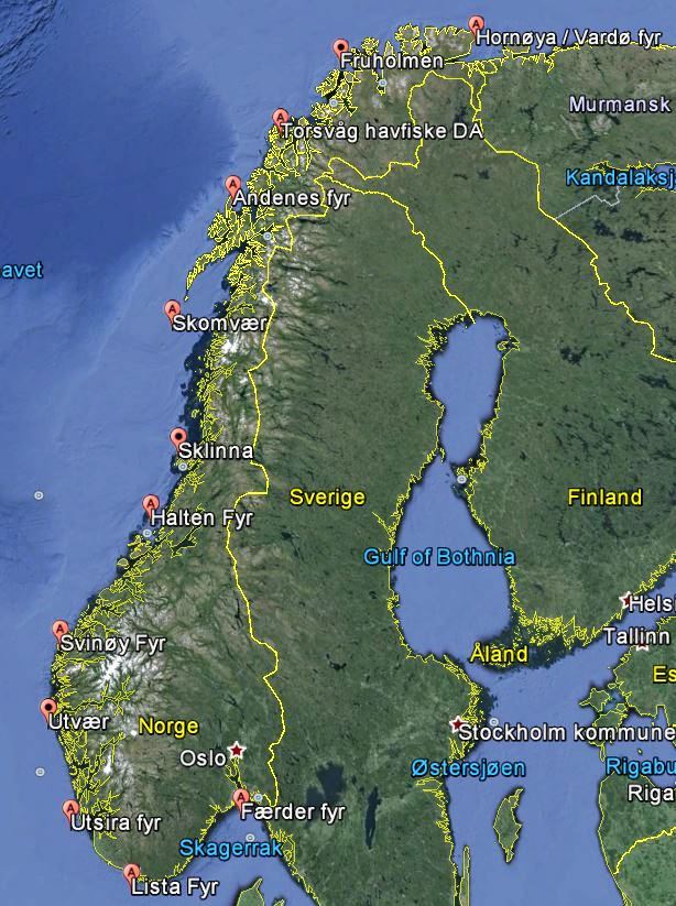
The DGPS service consists of 12 DGPS stations on the Norwegian coast. Each DGPS station has reference stations that monitor all visible satellites (over 8 degrees elevation) and calculates a correction value for each satellite. These corrections are transmitted over the Norwegian Coastal Administration's maritime radio beacon in the frequency band from 283.5 kHz to 315 kHz, and they can be received by users equipped with a DGPS radio beacon receiver. The user's GPS receiver uses the received corrections to improve the accuracy of the positioning it calculates.

Within the specified coverage area for the DGPS service, the user will achieve a positioning accuracy better than 10 metres (2 drms, 95 per cent probability).

Experience shows that the positioning accuracy is typically in the range of 1 to 3 metres.

In addition to improved positioning accuracy, the DGPS service will also provide integrity alarms for GPS. The DGPS service should have an availability of 99.5 per cent, calculated over a two-year period.

The DGPS service is linked to GPS. The Norwegian Coastal Administration, other Norwegian agencies or Norwegian authorities do not have any control over the technical and operational conditions for GPS.

Contact

Senioringeniør

Richard Aase /

Coverage

The most important factors that limit the range of a DGPS station are the signal strength and signal-to noise ratio of the user. A signal strength and/or signal-to-noise ratio that is too low will result in a loss of transmitted data. If many subsequent messages are lost, the DGPS corrections will gradually become older and result in the positioning accuracy becoming gradually poorer. Ultimately the receiving equipment will switch to "GPS only mode" and ignore the DGPS corrections.

A coverage map has been prepared for the DGPS service. The maps illustrate the estimated coverage area for both day and night. The models that have been used to estimate coverage only take the topographic conditions into consideration to a limited extent, so that the estimates can be less accurate in fjords or elsewhere where the signals must pass over high terrain.

The users must bear in mind that the signal from a DGPS station can be disrupted by interference from other radio transmitters (such as radio noise in port areas) as well as noise from precipitation.

See an overview of DGNSS stations and related information here 

Map of DGPS stations

Receiver equipment

The users must be equipped with a DGPS radio beacon receiver in order to use the corrections from the DGPS service. In some receivers the GPS and DGPS receiver is built into the same unit. There are also receivers with a combined GPS and DGPS antenna. User equipment must be earthed properly in order to reduce the sensitivity to noise.

Users should note that not all DGPS receivers have the necessary functionality to display integrity alarms for the DGPS system.

Nautical charts and GPS/DGPS

The geodetic datum used by GPS is the World Geodetic System 1984 (WGS-84). WGS-84 is also the datum used for the calculation of DGPS corrections. Many Norwegian nautical charts are issued with the WGS-84 datum, but there are also charts issued with the ED50 datum or the Norwegian graticule.

When using charts with a datum other than WGS-84, the position must be converted before it is entered on the chart. It is normal practice for the conversion values to be noted on the chart.

DGPS Stations

Each DGPS station has two reference stations with unique ID numbers. One reference station is active and connected to the radio transmitter, while the other reference station is a reserve. The user equipment will display the ID number of the active reference station.

The stations broadcast DGPS data in accordance with the international standard Recommendation ITU-R M.823-1. Message types 1, 2, 3, 5 and 7 are used as described in this standard. Data rate is 200 bit / s.

Go to top